- +91-11-4044-5999
- info@cdri.world
-
Copernicus Marg, New Delhi, INDIA
Debris flow risk mapping and early warning for people safety and infrastructure resilience
Dr Marco Redaelli
Regione Lombardia Italy
Ms Elena Ioriatti, Mr Rodolfo Rani
Università di Bologna Italy
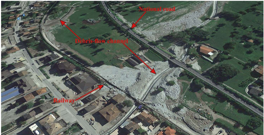
Research problem: In many mountainous regions of the world, debris flows severely threaten human settlements and infrastructure, especially transport/communication networks and power transmission lines. Due to their rapid evolution and impact can result in fatalities, disruption to lifelines, and long-lasting impact on the economy.
Innovation/novelty: Infrastructure agencies often do not have detailed risk maps specific to debris flows. We aim to demonstrate how the combination of desk studies and relatively inexpensive targeted surveys can provide the necessary information. Moreover, we are developing an innovative early-warning system based on low-cost and low-energy-consumption sensors.
Proposed solution: Reducing the risk to people and infrastructure by enabling the managing agencies to switch from a predominantly reactive post-event recovery to a more proactive approach to risk management and capacity building for resilience. This is done by: (a) detailed risk mapping (b) early warning.
Research Methodology: The proposed activities are trialled in a representative area of the Alps, emphasising the generalisation and exportability of methodologies and results. Both risk mapping and EWS development are articulated in two tiers of increasing accuracy (and cost) in order to fit different contexts and resource availability.
Practical application and implications Risk maps support decision-making for (i) planning of structural mitigation works, (ii) development of location-specific alert systems based on weather forecasts, and (iii) optimisation of emergency response. Early warning systems (EWSs) can save lives and enable a rapid response for optimal repair of transport assets, communication networks, and power transmission lines.
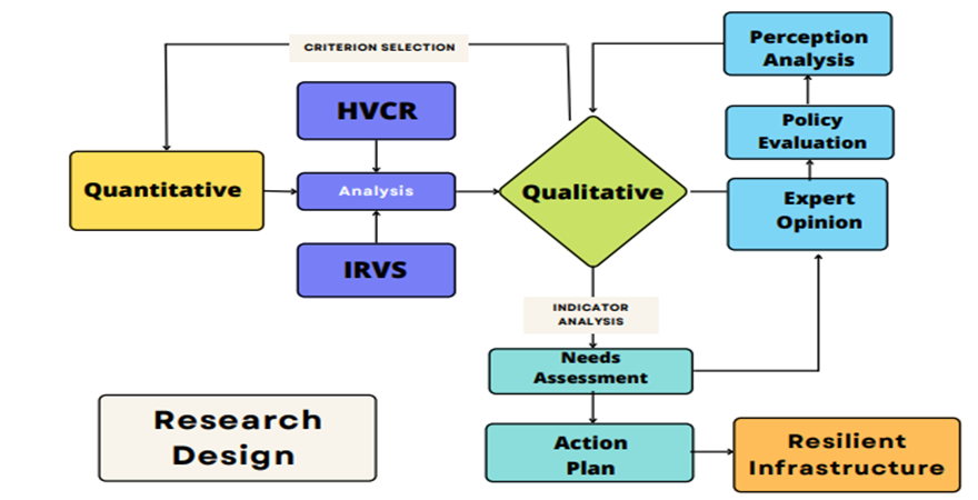
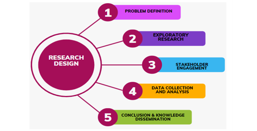
Assumptions Tasks from T1 to T7, as detailed in the flowchart for research design, can be carried out independently of the meteorological condition that shall take place. The quantity and quality of data collected in T8 (EWS field operations) shall depend on the intense rainfall events.
Scope and limitations: The proposed research is relevant to risk management and resilience improvement of human settlements and infrastructures affected by debris flows, mudflows and flash floods in steep mountainous basins. It does not contribute to decision-making associated with other landslides and floods.
 mainstreaming inclusion of persons with disabilities in disa.png)
