- +91-11-4044-5999
- info@cdri.world
-
Copernicus Marg, New Delhi, INDIA
Multi-hazard risk indexing of coastal critical infrastructure: A case study of Thailand
Dr Indrajit Pal
Associate Professor and Chair Disaster Preparedness Mitigation & Management Asian Institute of Technology, Thailand
Prof. Joyashree Roy
Bangabandhu Chair Professor School of Environment Resources & Development Asian Institute of Technology, Thailand
Prof. of Economics, Jadavpur University, India (on lien)
Mr Anil Kumar
Doctoral Researcher Disaster Preparedness Mitigation & Management Asian Institute of Technology
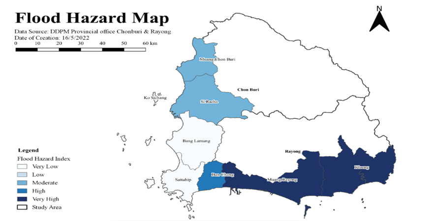
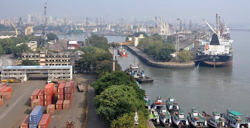
The Eastern Economic Corridor (EEC) is a special invent zone situated in the coastal area of Chonburi, Rayong and Chachoengsao provinces of Thailand. The EEC has several major infrastructures and is poised to attract multiple infrastructure development projects. The coastal provinces of Thailand are prone to various hazards that include flood, cyclone, tsunami and coastal erosion. These hazards pose a serious threat to the existing infrastructures including critical infrastructure in the coastal areas mostly along the Chonburi and Rayong provinces of Thailand. A risk management exercise in the EEC area is critical to safeguard the existing infrastructure and the ones being developed in the near future from hazards. This study is a unique step to perform risk assessment of critical infrastructures with a focus on transport, health and education sectors with reference to natural hazards of flood, cyclone and coastal erosion. The methodology employs the identification of key critical infrastructures and indicators of hazard, exposure, sensitivity and capacity. Further, secondary data is gathered from national and global data sources to analyse hazards, exposure, sensitivity and finally risk of critical infrastructures in the EEC. The result shows districts that come under very high-risk level are Si Racha (Chonburi) and Ban Chang (Rayong). Muang Chonburi (Chonburi) and Muang Rayong (Rayong) are high-risk-level areas. Under moderate risk level is Klaeng (Rayong) district, while Ko Sichang (Chonburi) and Sattahip (Chonburi) are considered low risk. It must be remembered that Laem Chabang Port and U-Tapao Airport are located in very high-risk zones. Similarly, Map Taphut Port, situated in Muang Rayong, is also a high risk-level zone. On the basis of this knowledge, priority should be given to Chonburi and Rayong districts while allocating resources. Additionally, for future studies baseline research for the development of database is highly recommended. Accessibility to such database will ensure a more accurate and comprehensive risk assessment in the future.
.png)
.png)
, nepal.png)
