- +91-11-4044-5999
- info@cdri.world
-
Copernicus Marg, New Delhi, INDIA
Integrating machine learning in disaster resilience through employing rule-based verification on aerial imagery for damages assessment and evacuation
Dr. Ahmed Hammad
Senior Lecturer, School of Built Environment – The University of New South Wales, Australia
Dr. Riza Yosia Sunindijo
Associate Professor, School of Built Environment – The University of New South Wales, Australia
Mr. Hafiz Suliman Munawar
PhD Scholar, School of Built Environment – The University of New South Wales, Australia
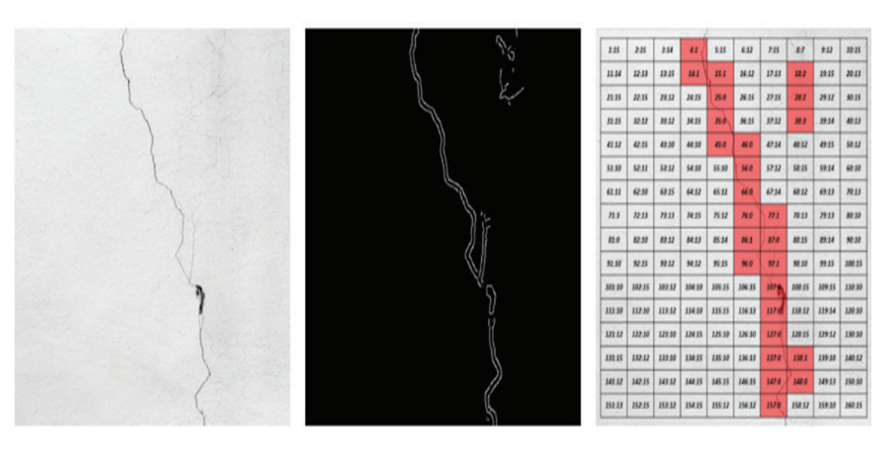
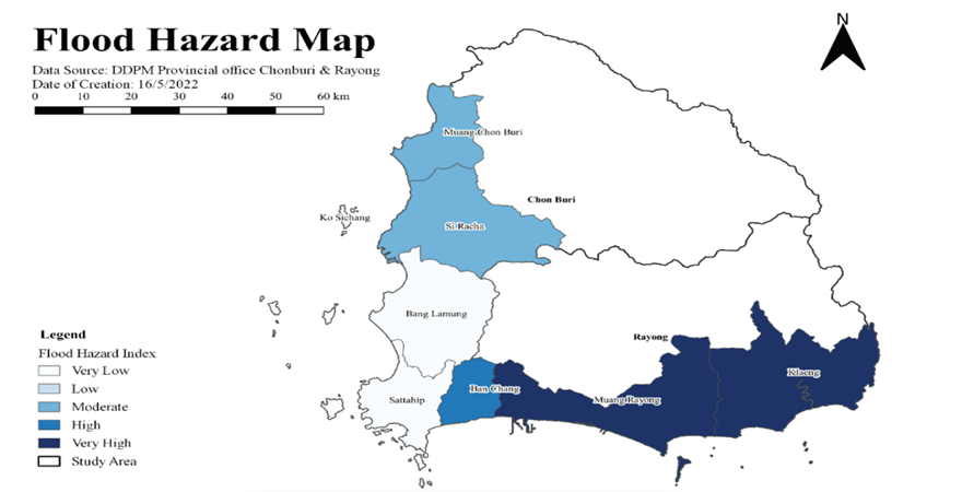
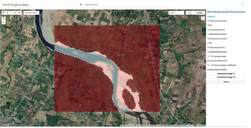
Currently, flood risk management focuses on predicting floods, managing land systems and creating maps for areas prone to disaster. However, there is a lack of a smart and intelligent system that manages responses in flood-like situations. There is no automated land-based recognition method which can pinpoint the disaster-prone areas in need of help when telecommunication systems dysfunction. Recent studies have pointed towards the possibility of gathering image data to determine the digital elevation model (DEM) water levels and use it to carry out a future flood risk analysis. However, these methods are not tested or implemented for real-time flood detection. Timely detection of a flood is crucial to initiate flood relief services by identifying available routes within the limited time frame. The proposed approach targets the shortcomings of the Global Positioning System (GPS) such as variance in location coordinates and delayed information processing by using an Unmanned Aerial Vehicle (UAV)-based imaging framework. One of the aftermaths of a natural disaster such as flood is a complete collapse or destruction of bridges, buildings and other infrastructure. Infrastructure components can sometimes be severely damaged, thus jeopardizing their structural integrity, resulting in fatalities and economic loss. In disaster-prone areas, many infrastructure elements are to be checked for defects. Manual detection of these defects is not feasible as it will require human resources and extended periods to thoroughly check each component. This may also result in some defects going undetected. This calls for the need to perform automatic defect detection to ensure reliability and precision. Using image processing and machine learning techniques, the captured or scanned images of the infrastructures can be analyzed to identify any defects. Therefore, this project will focus on using state-of-the-art technology to facilitate disaster response. This project aims to build resilience to disasters by using a combination of machine learning and image processing-based methods. The major problems to be solved are detecting flood-affected areas from input aerial imagery in the post-disaster phase. From these areas, infrastructure components such as bridges are to be detected to perform damage assessment on them, focusing on the detection of cracks from input images of bridges. Also, it will assist in detection of entire road network from aerial imagery for disaster victim evacuation planning.
.png)
.png)
, nepal.png)
