- +91-11-4044-5999
- info@cdri.world
-
Copernicus Marg, New Delhi, INDIA
Framework for landslide-prone critical infrastructure zoning
Mr Kaushal Gnyawali
Himalayan Risk Research Institute, Nepal
Mr Kshitij Dahal
Himalayan Risk Research Institute, Nepal
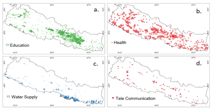
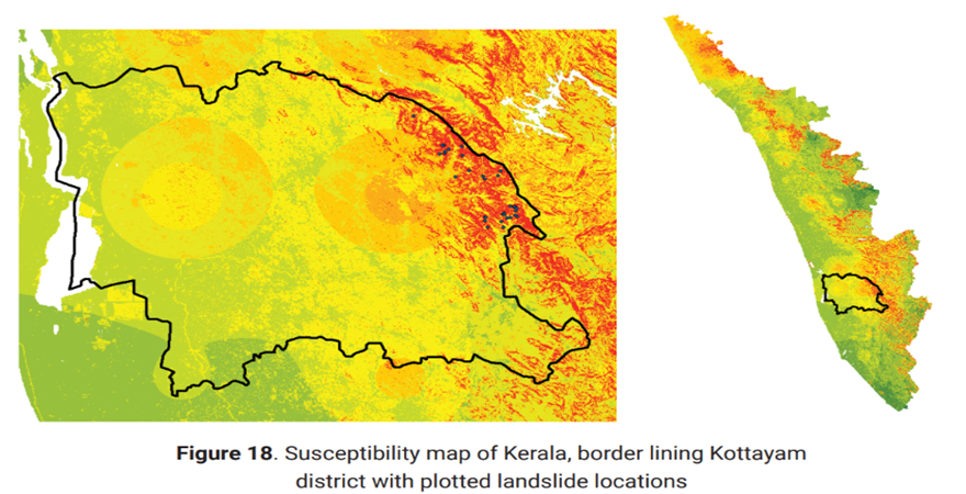
Landslide cause human losses, economic losses and infrastructure disruptions. Landslide susceptibility assessment effectively predicts the likelihood of landslides in a given region. Lack of precise landslide susceptibility assessment makes it difficult to identify existing critical infrastructures that are more vulnerable to landslides, which result in poor mitigation and preparedness. A spatially consistent landslide inventory is required to develop an effective landslide susceptibility map. Terrain attributes and extreme rainfall control the landslide susceptibility. Variation of extreme rainfall in magnitude and intensity makes landslide susceptibility a dynamic phenomenon, which requires understanding landslide susceptibility at different multi-temporal scales. In this study, we manually mapped over 100,000 landslides in Nepal and then mapped landslide susceptibility from 2015 to 2020 on a multi-temporal basis. We trained a machine learning model with terrain attributes and 21 different extreme rainfall indices for this. The landslide susceptibility was then overlaid on a critical infrastructure spatial index map (representing the intensity of the presence of critical infrastructure based on open street maps). In this way, we identified the critical infrastructures prone to landslides in Nepal. Different scenarios maps are generated to help prioritize landslideprone critical infrastructure areas and river corridors on a national scale. The final map delineates areas where climate-resilient slope infrastructure policy needs to be enforced at the granular level. The framework we developed is scalable to other countries and regions and helpful in developing national-scale infrastructure financing strategies.


.png)
.png)
, nepal.png)

