Page d’accueil ![]() Bourses
Bourses ![]() Quantification de la subsidence côtière due aux impacts de l'extraction des eaux souterraines
Quantification de la subsidence côtière due aux impacts de l'extraction des eaux souterraines
Quantification de la subsidence côtière due aux impacts de l'extraction des eaux souterraines
Partenaire de mise en œuvre : Build Change
Nom du projet : Évaluation de la résilience des infrastructures côtières face à l’extraction des eaux souterraines : quantification des risques d’affaissement par la modélisation 3D des aquifères
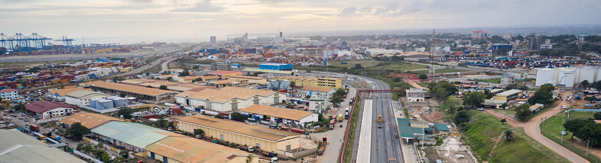
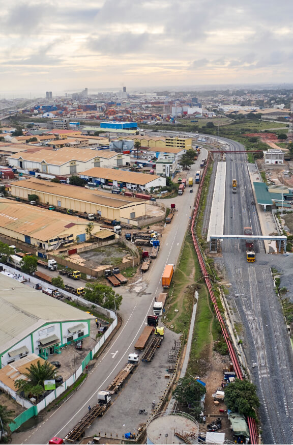
Ce projet analyse l’impact de l’extraction non réglementée des eaux souterraines sur l’affaissement des sols dans le corridor côtier de Tema, au Ghana, exposant des infrastructures stratégiques, telles que le port de Tema et les ouvrages de protection côtière de Sakumono, à des risques accrus.
En combinant la modélisation 3D des aquifères, l’imagerie satellitaire et des données issues d’observations au sol, il permet d’identifier les zones à haut risque à proximité d’actifs essentiels.
Les résultats appuient la planification stratégique visant à renforcer la résilience des infrastructures et encouragent une gouvernance durable des eaux souterraines dans des environnements côtiers en rapide urbanisation.
des sols observé
près de Tema.
résidence à risque élevé
Impact et résultats clés
1
L’étude combine la modélisation des eaux souterraines avec des données satellitaires et des observations de terrain afin d’identifier les zones sujettes à l’affaissement dans la région côtière de Tema, permettant ainsi une planification stratégique des infrastructures et la protection des actifs critiques contre des menaces géologiques et environnementales à long terme.
2
Le projet identifie les zones exposées à l’affaissement des sols menaçant les ports et les ouvrages de protection côtière, et oriente des décisions d’investissement éclairées visant à protéger les infrastructures essentielles et à prévenir des dommages durables dans les régions côtières vulnérables à l’affaissement induit par l’exploitation des eaux souterraines.
3
Le projet promeut une gestion durable des eaux souterraines grâce à des analyses fondées sur les données et à une collaboration inclusive des parties prenantes, renforçant la sécurité hydrique à long terme et soutenant un développement résilient face au climat dans les régions côtières vulnérables du Ghana, confrontées à des pressions environnementales et sur les ressources de plus en plus fortes.